The West Coast Trail North to South vs. South to North (Which Direction Should You Hike?)
West Coast Trail Logistics: Should You Start at Pachena Bay or Gordon River?
If you are currently researching West Coast Trail reservations for 2027, let me welcome you to the most stressful thirty minutes of your winter.
Every year, usually around early February (the 2026 portal opened on February 5th at 8:00 AM), thousands of hikers log onto the Parks Canada portal, watch the queue glitch out, and watch the prime summer dates vanish before they can even type in their credit card numbers.
But before you even enter that Thunderdome, you have to answer the single most terrifying question on the trail. You have to choose your starting point. Do you want to hike the West Coast Trail North to South, or South to North?
Do you start at the Pachena Bay Trailhead in the north, or the Gordon River Trailhead in the south?
The forums are filled with ultralight hikers using Strava data to debate this. I am not an ultralight hiker. I am a 51-year-old, 230-pound dad who dragged a 55-pound anvil of a backpack through the mud. Here is the unvarnished, no-nonsense reality of which direction you should hike.
Option A: South to North (NOBO – The “Eat the Frog” Strategy)
The Route: Start at the Gordon River (Port Renfrew) and finish at Pachena Bay (Bamfield).
In the backpacking community, hiking from the south to the north is called going NOBO (Northbound). It is the route that all the trail veterans strongly recommend, and it operates on a very simple premise: get the absolute worst part over with first.
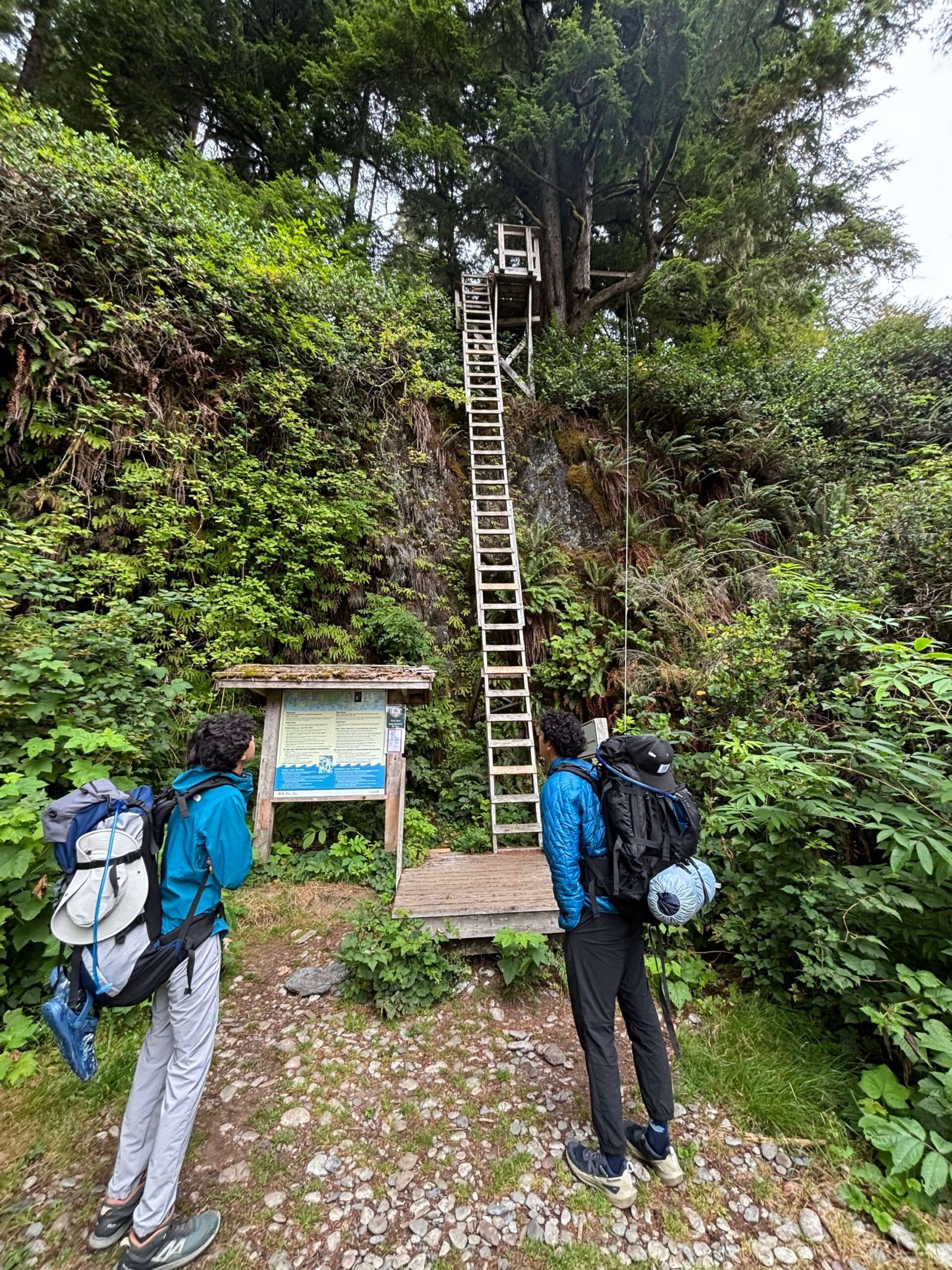
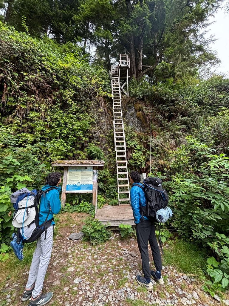
The Pros: The southern section of the trail—specifically the 33-kilometer meat-grinder between Gordon River and the Nitinaht Narrows—is punishing. It is a relentless gauntlet of waist-deep mud bogs, massive root systems, and terrifying 100-rung ladders. By starting in the south, you tackle this terrain while your body, your morale, and your knees are entirely fresh. Furthermore, when you finally drag yourself off the trail at Pachena Bay a week later, you don’t have to stress about missing a scheduled ferry crossing. You just walk off the beach.
The Cons: You are tackling the most vertical, brutal terrain on the entire coast while your backpack is at its absolute heaviest. You are carrying seven days’ worth of food, fuel, and water. Let me tell you, there is a profound psychological trauma that occurs when you step off the Gordon River ferry, adjust your 55-pound pack, look up at a vertical wall of wood, and realize your own gear is actively trying to pull you backward into the Pacific Ocean.
Option B: North to South (SOBO – The “Death by Exhaustion” Strategy)
The Route: Start at Pachena Bay and finish at Gordon River.
The Pros: The north is a liar, but it is a beautiful liar. Starting at Pachena Bay gives you 17 kilometers of relatively flat, gorgeous beach walking and well-maintained boardwalks. It is a fantastic way to ease your body into the rhythm of the trail. More importantly, by the time you reach the brutal southern ladders near Thrasher Cove and the treacherous surge channels at Owen Point, you have eaten most of your food. Your pack is significantly lighter.
The Cons: Your pack might be lighter, but your body is completely battered. Facing those massive root ladders on Day 6, when your hamstrings are screaming, your boots are perpetually wet, and your will to live is fading, requires immense psychological endurance.
The WCT Permit Rush Hack: Because the South-to-North route is so heavily coveted, those Gordon River permits vanish instantly. If you log on during the WCT permit rush and your preferred southern start dates are gone, do not panic. Book the Pachena Bay start. It is an equally valid way to experience the trail, and it is far better than sitting at home.
The Ultimate Logistics Hack: The “Reverse Parking” Strategy
Regardless of which direction you hike, you have to solve the logistical nightmare of the trailheads. They are incredibly remote, and getting between them takes hours.
Here is the secret: use the reverse parking strategy.
Do not park your car where you start. Park your car where you plan to finish.
If you are hiking South to North, drive to Bamfield and park your car for free at the Pachena Bay Trailhead. Then, catch the West Coast Trail Express shuttle bus. You will spend a few bumpy hours riding the bus south to Port Renfrew so you can start your hike at Gordon River.
Why? Because when you finish a 75-kilometer expedition, you are going to be filthy, exhausted, and hungry. The absolute last thing you want to do is sit on a gravel shoulder waiting for a shuttle bus. You want to drop your pack, pull your keys out of your pocket, and sit in your own vehicle.
The Verdict (Which Way Did We Choose?)
After months of debating, my group listened to the veterans. We utilized the reverse parking strategy, rode the bus to the south, and locked in a South-to-North itinerary to tackle the hardest terrain first.
In theory, it was a brilliant tactical decision.
In reality, stepping onto the trail with 55 pounds of gear changed the math entirely.
Want to know exactly what happened when a 51-year-old rookie stepped off that ferry at Gordon River and faced his first ladder?