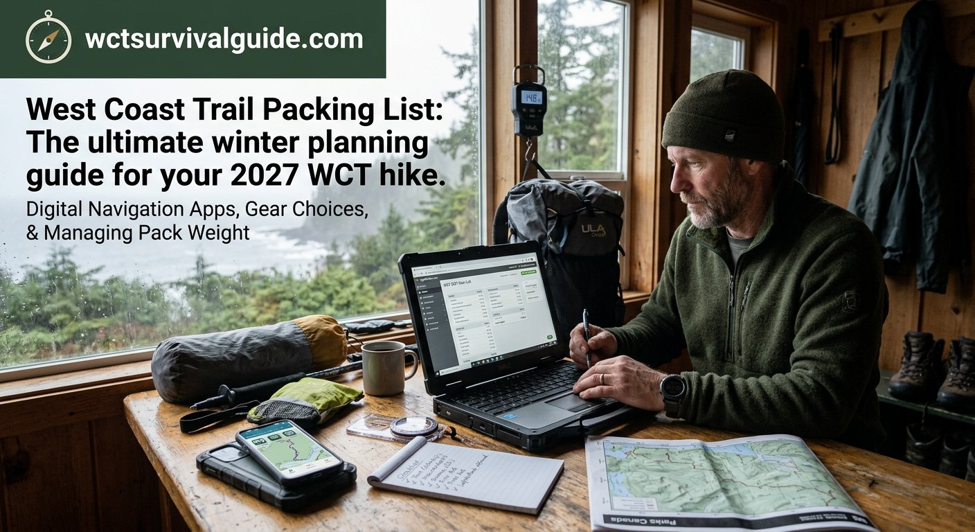
There is a profound difference between the West Coast Trail you imagine from your living room and the trail you actually experience on a slick, near-vertical ladder with a massive backpack threatening to rip you backward. You need a West Coast Trail packing list.
When I was researching 55 Pounds of Regret, I realized that almost every physical disaster my sons and I faced on the WCT traced back to a single mistake: packing out of fear. The “just in case” mentality is what leads hikers to add redundant fleece jackets, an oversized tent, and extra fuel to their West Coast Trail packing list when the coastal terrain actually demands extreme agility.
If you are aiming for the 2027 season, winter is the time to start the spreadsheet phase. Before you purchase a single piece of expensive gear, you need to understand exactly what you are carrying and how you will navigate the route. You need a West Coast Trail packing list. Here is the digital toolkit that will save your knees, your sanity, and keep you safely on the trail.
1. The Spreadsheet Reality Check: LighterPack & PackWizard
LighterPack is a free, web-based tool that has become the gold standard for backpackers looking to mathematically trim their load. Building a theoretical West Coast Trail gear list in the winter forces you to confront the reality of every single ounce before you spend your money.
- Categorization over Chaos: Instead of throwing gear into a pile, LighterPack allows you to build specific categories like Shelter, Sleep System, Cooking, and Clothing. This visual breakdown instantly highlights redundancies in your setup.
- The Base Weight Metric: The most critical number in LighterPack is your Base Weight—the total weight of your pack minus consumables like food, water, and fuel. Pushing a heavy, traditional pack load on the WCT guarantees a grueling, miserable fight against gravity. This metric forces you to swap out heavier items to lower that number.
- The ‘Worn Weight’ Exemption: The app allows you to mark items you wear on your body—like your boots, gaiters, and trekking poles—as “worn,” which correctly removes them from your pack’s base weight calculation.
- Shareable Shake-Downs: You can export your list as a pie chart and share the link in WCT Facebook groups or the
r/UltralightReddit forum to get experienced hikers to ruthlessly critique your gear before you finalize it. - The Real-World Test: Entering weights on a screen is only step one. To land a base weight that actually works, you must take your finalized LighterPack loadout on a one- or two-night local backpacking trip to dial in the physical reality of the gear.
LighterPack vs. The Modern Alternatives:
PackWizard and Packstack are modern tools that offer better mobile interfaces and category templates, addressing the fact that LighterPack is a legacy program that hasn’t seen a developer update in years. However, LighterPack is still the reigning king of historical data—it hosts an archive of WCT-specific pack lists that completely dwarfs what you will find on the newer apps.
2. Navigation Apps: Beyond the Official West Coast Trail Map
While the West Coast Trail is a well-defined route, the deep coastal forest canopy, tide bottlenecks, and dense fog can make navigation disorienting. Hikers receive a free printed copy of the map during Parks Canada orientation, but relying strictly on paper in torrential rain is a gamble. Your smartphone, set to airplane mode and protected in a dry bag, is your most powerful navigation asset.
- The West Coast Trail App (The Essential Tool): There is a dedicated West Coast Trail App available for iOS and Android that acts as a comprehensive trail guide. The Pro version ($29.99) operates fully offline with GPS tracking, showing interactive layers with every ladder location (including rung counts and direction), tide-restricted beach sections, and precise weather forecasts for every campsite. Tide times even automatically adjust to your specific travel dates.
- Gaia GPS: If you want a standard topographical map for the backcountry, use Gaia GPS, as they actively update their trail layers and have removed the defunct Carmanah routes. However, Gaia still will not calculate tides or ladder counts. Because the WCT only sees 8,000 hikers a year, it is not profitable for the massive tech companies to build custom tide-features for it.
3. The Apps to Avoid: Why AllTrails, Avenza Maps, and FarOut (Guthooks) are Liabilities
If you hike the WCT in July and August, you will inevitably pass international or out-of-town hikers staring blankly at AllTrails as they try to navigate the coastline. While AllTrails is fantastic for weekend day hikes, relying on it for the WCT is a genuine safety liability.
- AllTrails is Out of Date: AllTrails is great for day hikes, but its WCT data is dangerously out of date. AllTrails scrapes its trail geometry from OpenStreetMap. Even when local hikers update the public data to reflect that Parks Canada has pulled the old Carmanah ladders, AllTrails continues to serve an older, cached version of the map. It will literally route you to a dead-end cliff.
- Missing Critical Metadata: AllTrails does not natively overlay the crucial elements required for survival on this specific route, such as official Parks Canada cutoff times, specific ladder locations, or tidal choke points.
- Battery Drain: The AllTrails app is notoriously resource-heavy and will chew through a smartphone battery much faster than viewing a static, offline map in Avenza or using the highly optimized WCT App.
- The Avenza Illusion: Avenza is a great budget option because it geo-locates you on the official Parks Canada map. The problem? That digital map is from 2016. The trail has changed drastically since then, and entire beach-access routes are gone.
- FarOut (Guthooks): FarOut is a dominant navigational app for long-distance thru-hikers. Its greatest strength is the community. Users leave real-time, crowdsourced waypoint comments. Unfortunately, FarOut does not have a West Coast Trail guide.
The Bottom Line
Brett Marl’s dedicated WCT App is the only navigation software I used on the trail. It syncs the government tide tables directly to offline chokepoints. It is the only app built specifically to keep you from getting trapped by the Pacific Ocean. And if you want to avoid sinking up to your knees in Cullite Creek mud while carrying a massive burden, start building your gear spreadsheet now. Strip the weight, download the WCT App, and prepare for the reality of the trail rather than the romanticized idea of it.
Want to see exactly what happens when you ignore this advice? Join the waitlist to receive the first three chapters of 55 Pounds of Regret. Read the disastrous true story of a 180-day preparation plan that collapsed within minutes of hitting the Gordon River trailhead.
Is there a specific piece of gear—like a tent or a sleep system—that you are currently struggling to justify adding to your own West Coast Trail packing list?